|
|
|
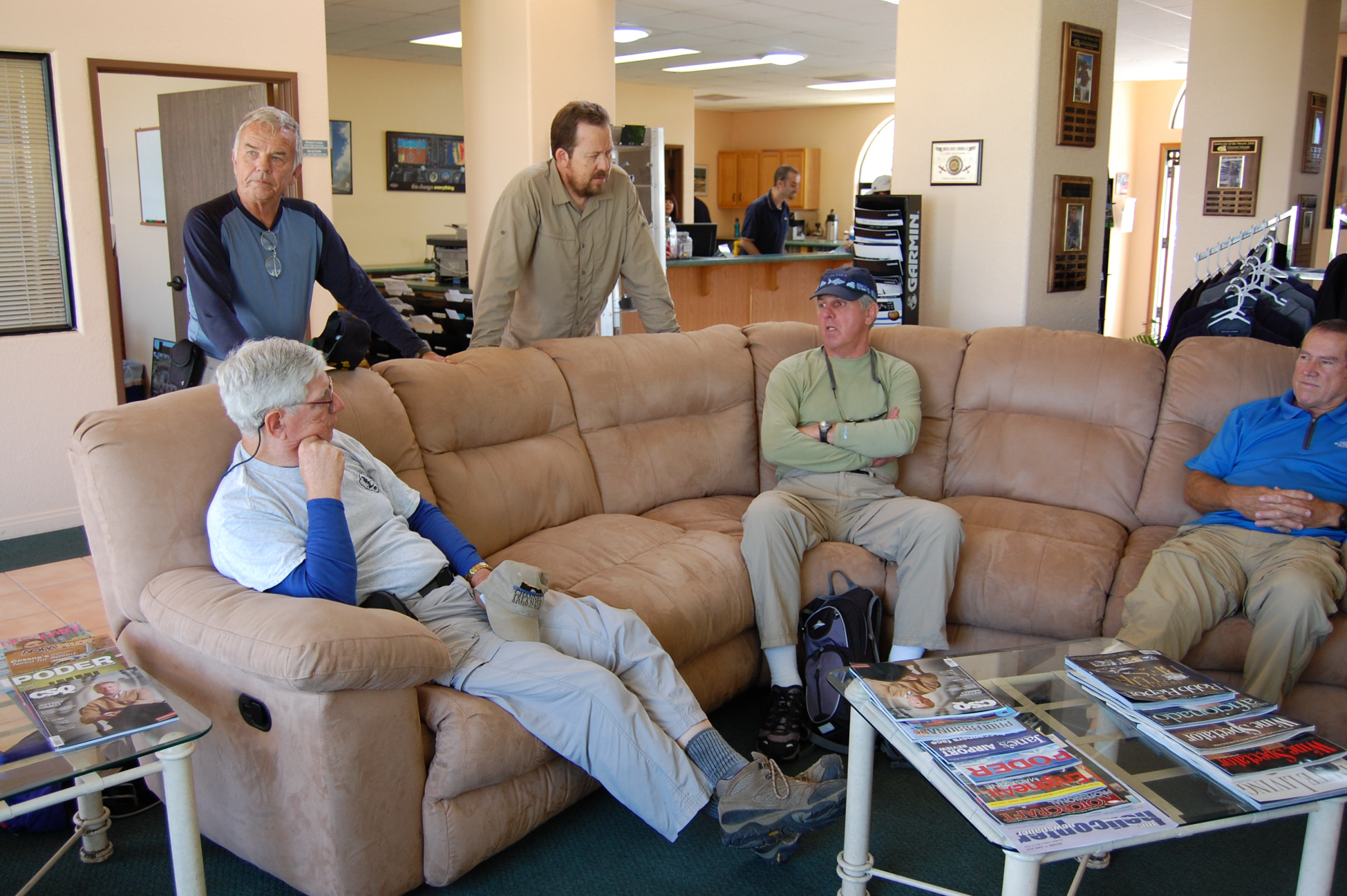 Waiting for the plane at Channel Islands Aviation (CIA) 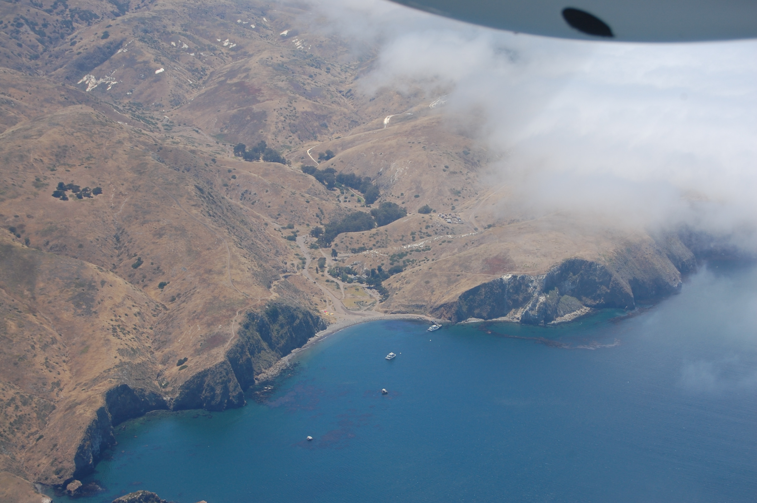 Flying over Scorpion Harbor, Santa Cruz Island 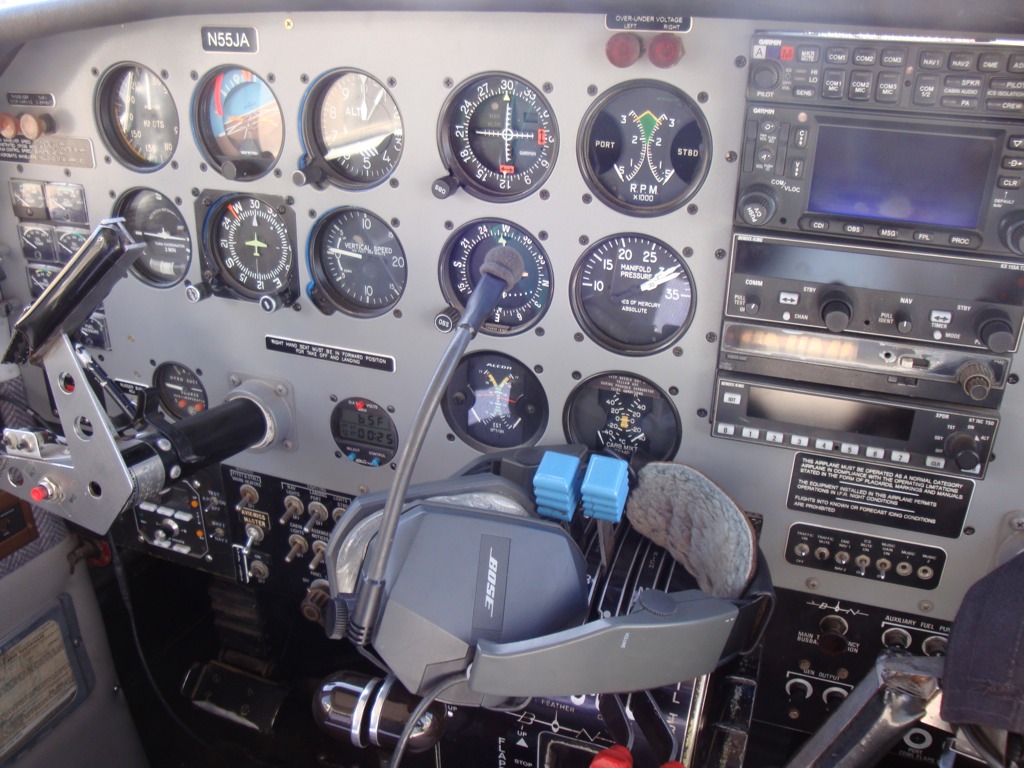 The cockpit 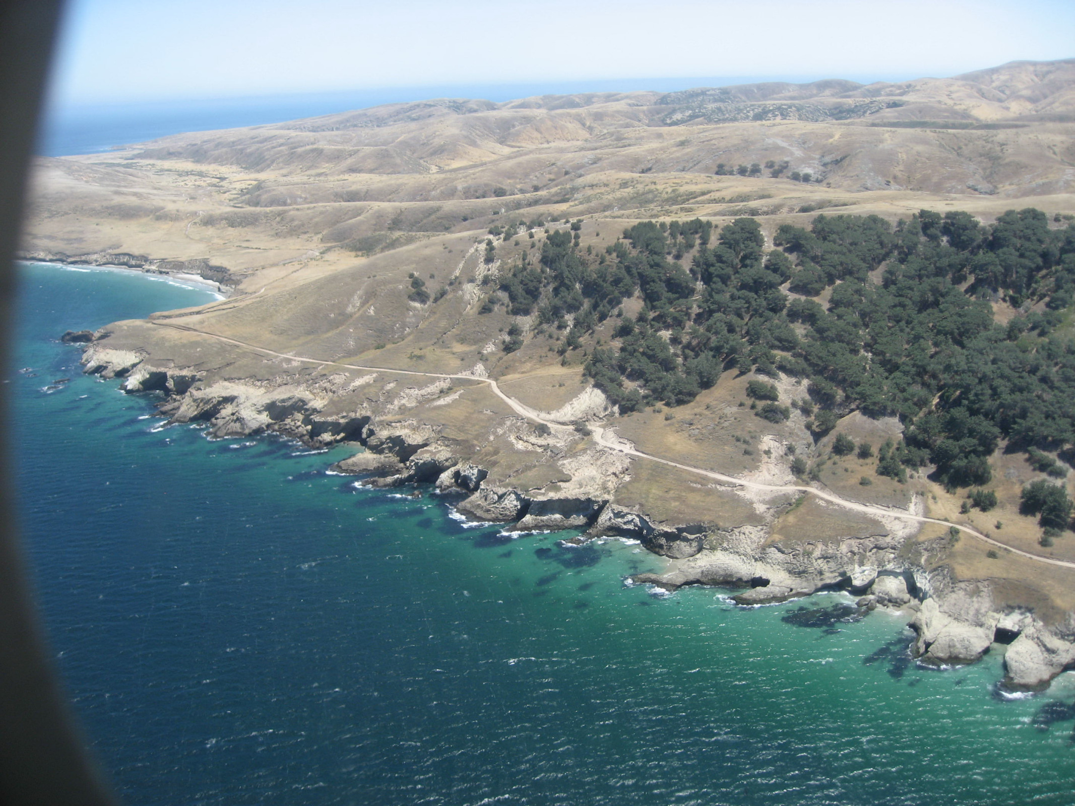 About to land: view of Santa Rosa's Torrey pines 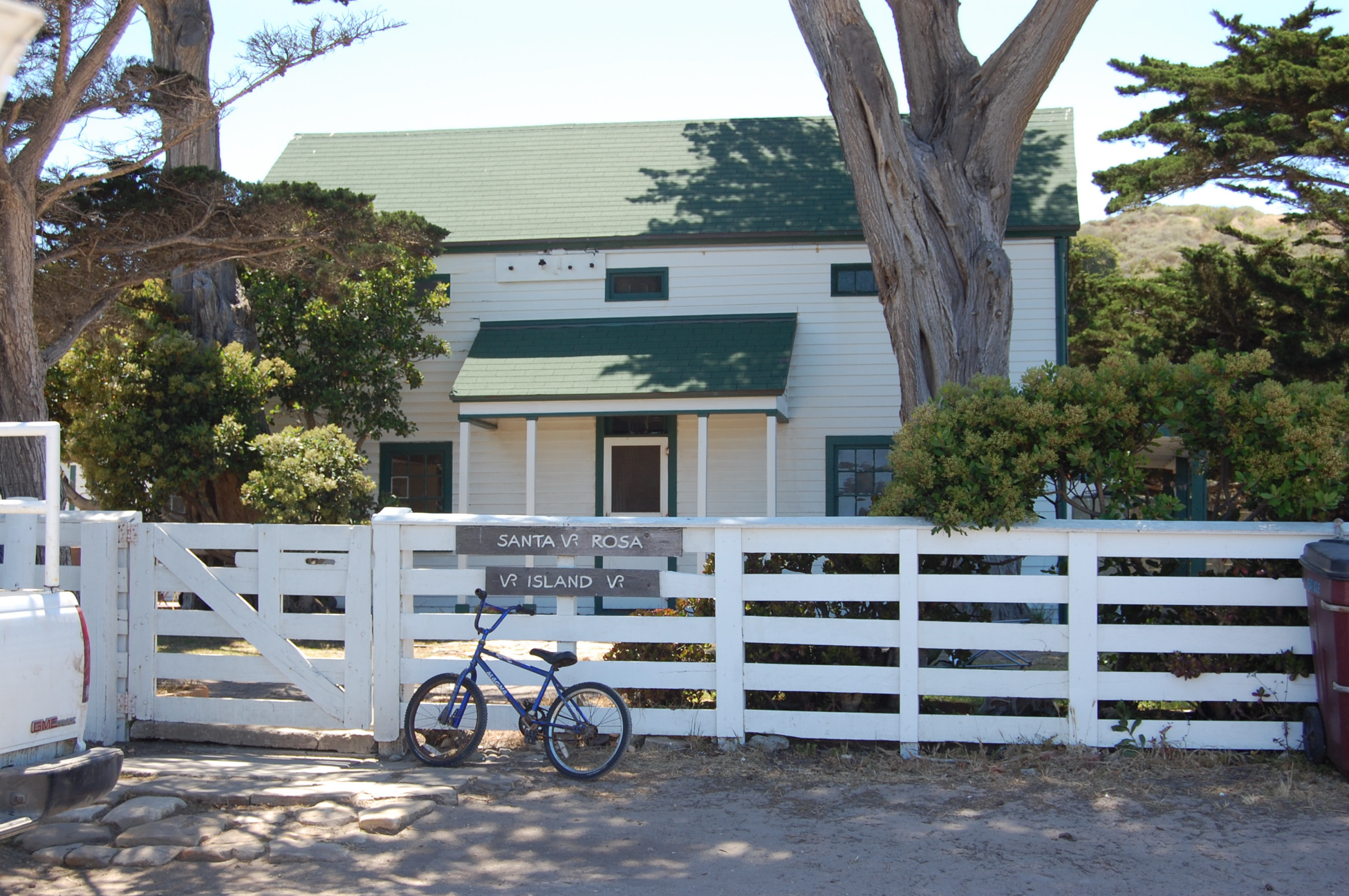 One of the ranch buildings 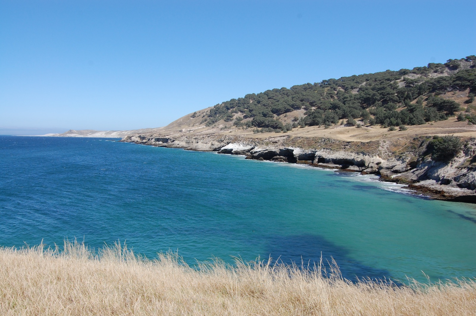 Bechers Bay 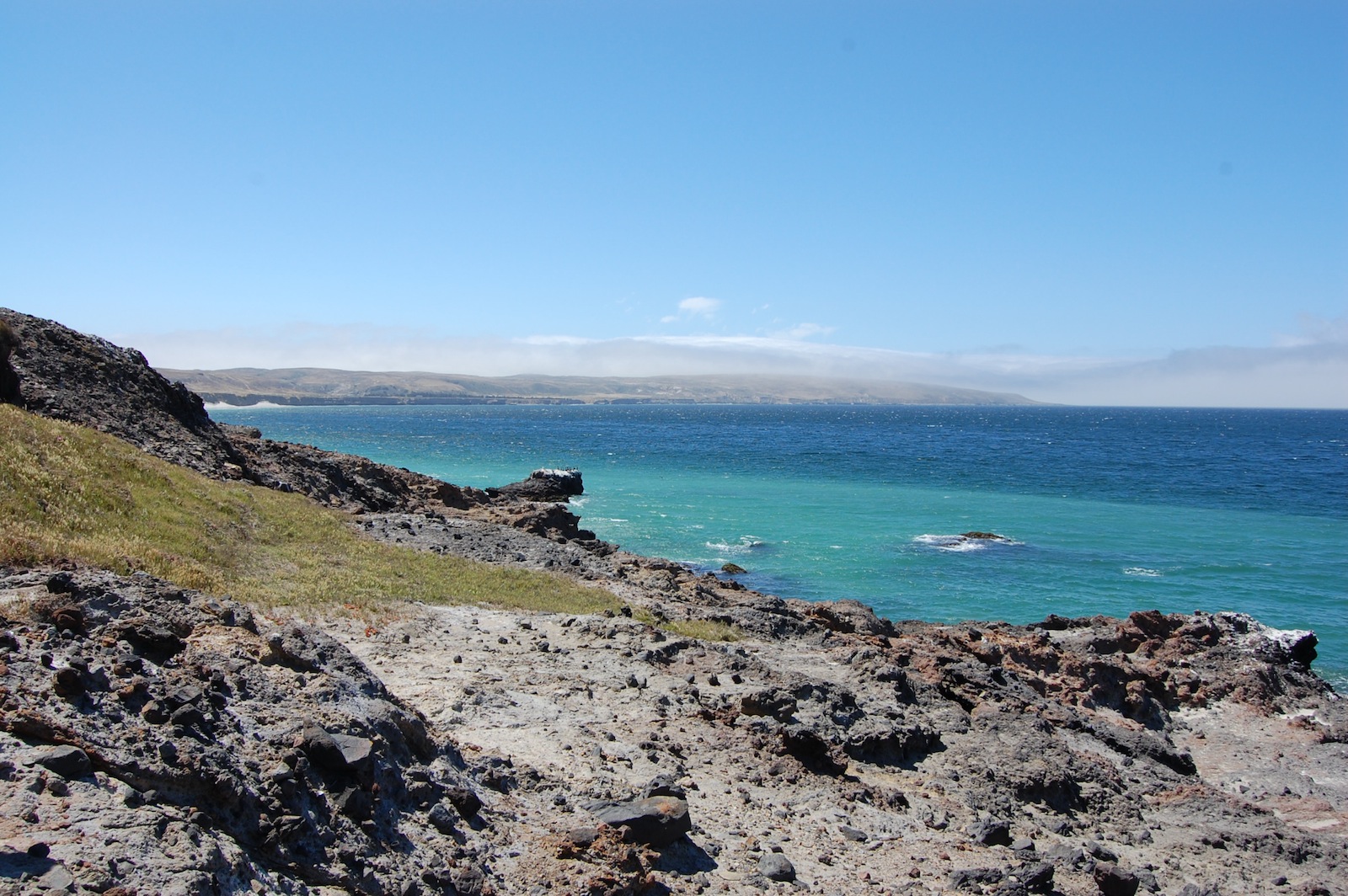 Black Rock / Bechers Bay |
Trail Crew Enjoys Trip To Santa Rosa Island
June 14, 2010
Story by Liz Baumann Photos by Dave Edwards, Burt Elliott and Liz Baumann On a lovely June afternoon, 8 members of the SMMTC trail maintenance crew boarded a 10-seater airplane at Camarillo Airport and headed off on a day trip to Santa Rosa Island. The group had received gift vouchers for the trip from the National Park Service (NPS) for their volunteer work on Santa Cruz Island, and elected to go as a group to explore Santa Rosa Island together. At roughly 85 square miles, Santa Rosa is the second-largest island in the Channel Islands National Park. It is located 6 miles west of Santa Cruz Island and 3 miles east of San Miguel Island. The airplane landing strip, pier, and campground are on the northeast part of the island near a broad anchorage named Bechers Bay, and that is where our visit took place. Some ranch buildings and the ranger residence area are also on this part of the island. There is a ranching / hunting operation that is scheduled to cease in 2011. Being further west from Santa Cruz Island, Santa Rosa is very windy, with an average annual wind speed of around 15 miles per hour. Like Santa Cruz Island, Santa Rosa has several unique plants and animals that are found in few if any other places in the world. Especially notable is a forest of Torrey pines, one of the rarest pine trees in the world. Our pilot for our plane journey was Mark Oberman, the owner of Channel Islands Aviation. Mark pointed out various landmarks on both Santa Cruz and Santa Rosa Islands, and was very knowledgable and forthcoming about the islands in general. Visitors to Santa Rosa Island can travel as we did by plane (there are flights scheduled daily), or come by boat. (The main pier for the island was damaged by recent storms however, and repairs are still being considered. Currently, visitors by boat will need to board a skiff to take them from their boat to the shore at Bechers Bay.) The flight path took us over Santa Cruz Island, with the June-gloom fog breaking enough for us to get a birds-eye view of some of the various trails that we regularly maintain on this island. Jerry Mitcham of the trail crew has been instrumental in organizing several trips each spring to work on the trails and help the rangers keep the campground and ranger residence in order. These trips are usually about 4 days long, with transportation by boat usually via Island Packers. We've done work at both Scorpion Harbor and Del Norte (the latter accessed from Prisoner's Harbor). When we landed on Santa Rosa Island, we were met by NPS volunteer Carolyn Greene, who was our guide for the duration of our visit. Unlike Santa Cruz Island where visitors are mostly left to explore on their own, visitors to Santa Rosa who arrive by plane are taken on a tour by park volunteers like Ms. Greene, which includes being shuttled around to various points of interest in a park vehicle. We saw the Black Rock archaeological site at Bechers Bay, drove by the ranch buildings and pier, and spent some quality time on the beautiful beach. Towards the end of our afternoon we took a loop hike through the Torrey pines and up to some fantastic views of the bay and further out to Santa Cruz Island. We were struck by the large size of the pine trees and pinecones. Flowers were in bloom as well and included indian pink, dudleya and island monkey flower. It was a wonderful trip and certainly one which each of us won't soon forget!
Links:
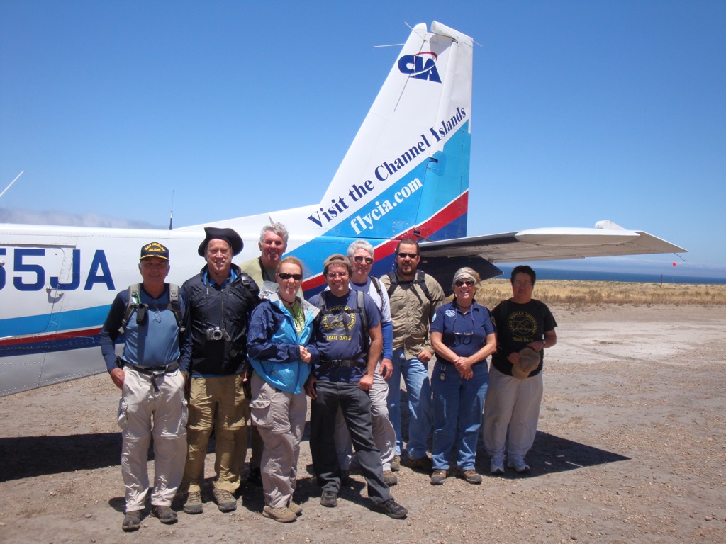 left to right: Burt Elliott, Dave Edwards, Barry Dydyk, Liz Baumann, Pete Warden, Jerry Mitcham, Greg Sweel, our guide Carolyn Greene, and Virginia Grue |
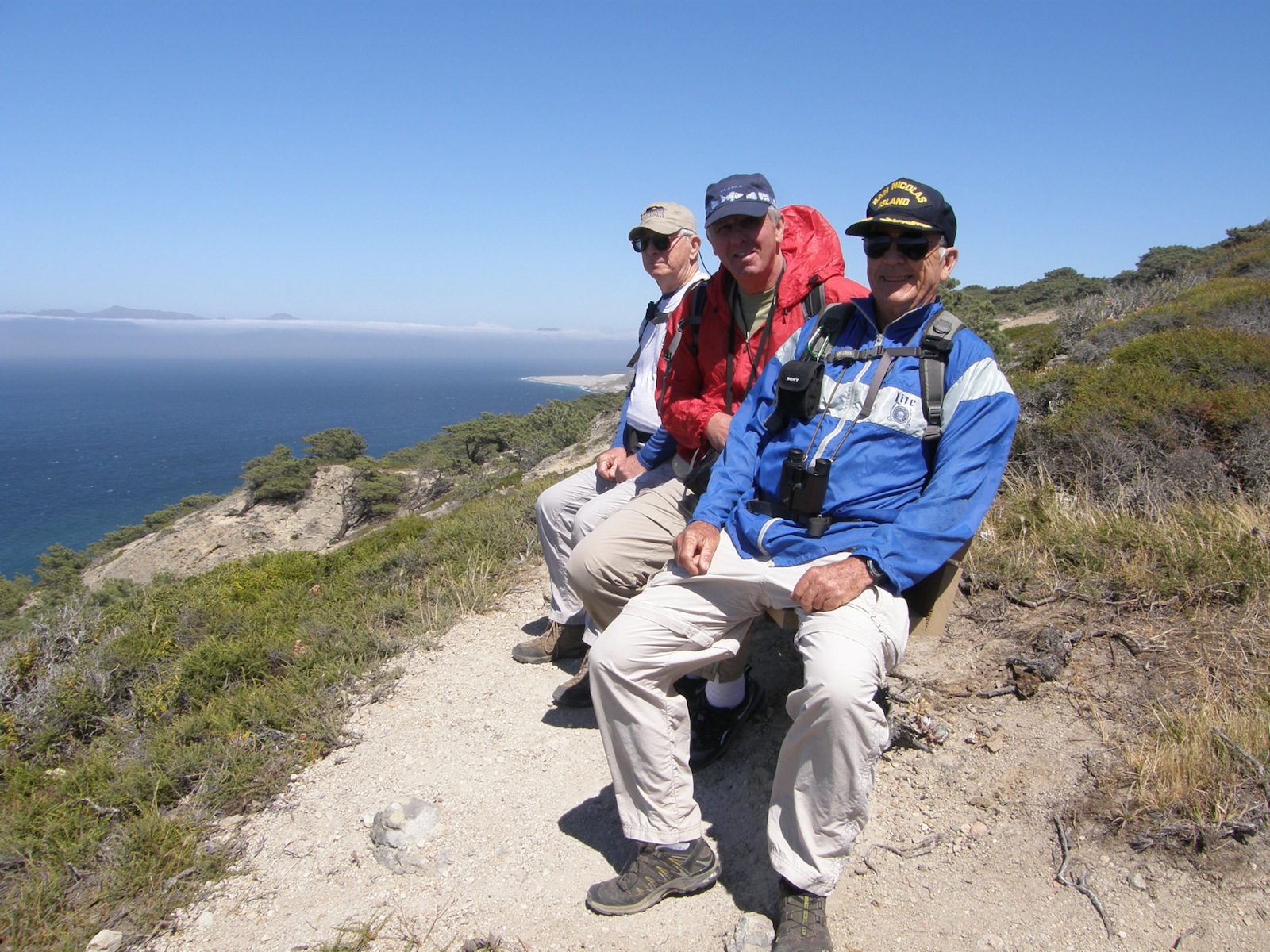 Perfect spot for a bench 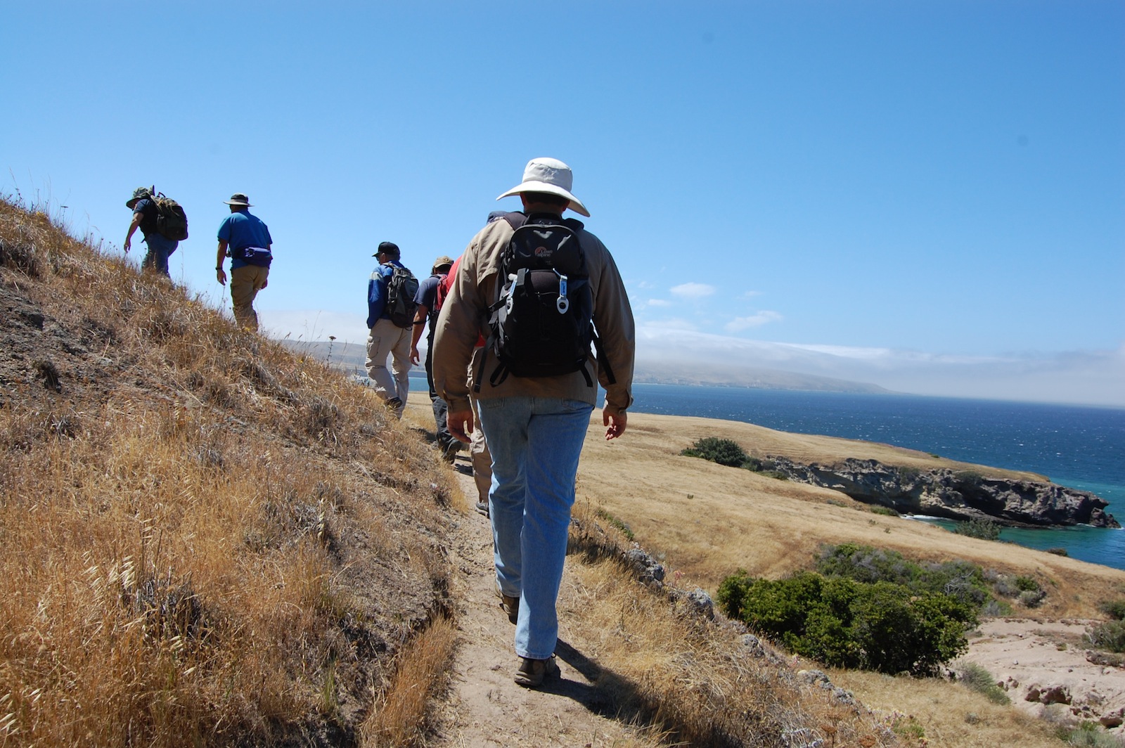 Hiking up to the Torrey pines 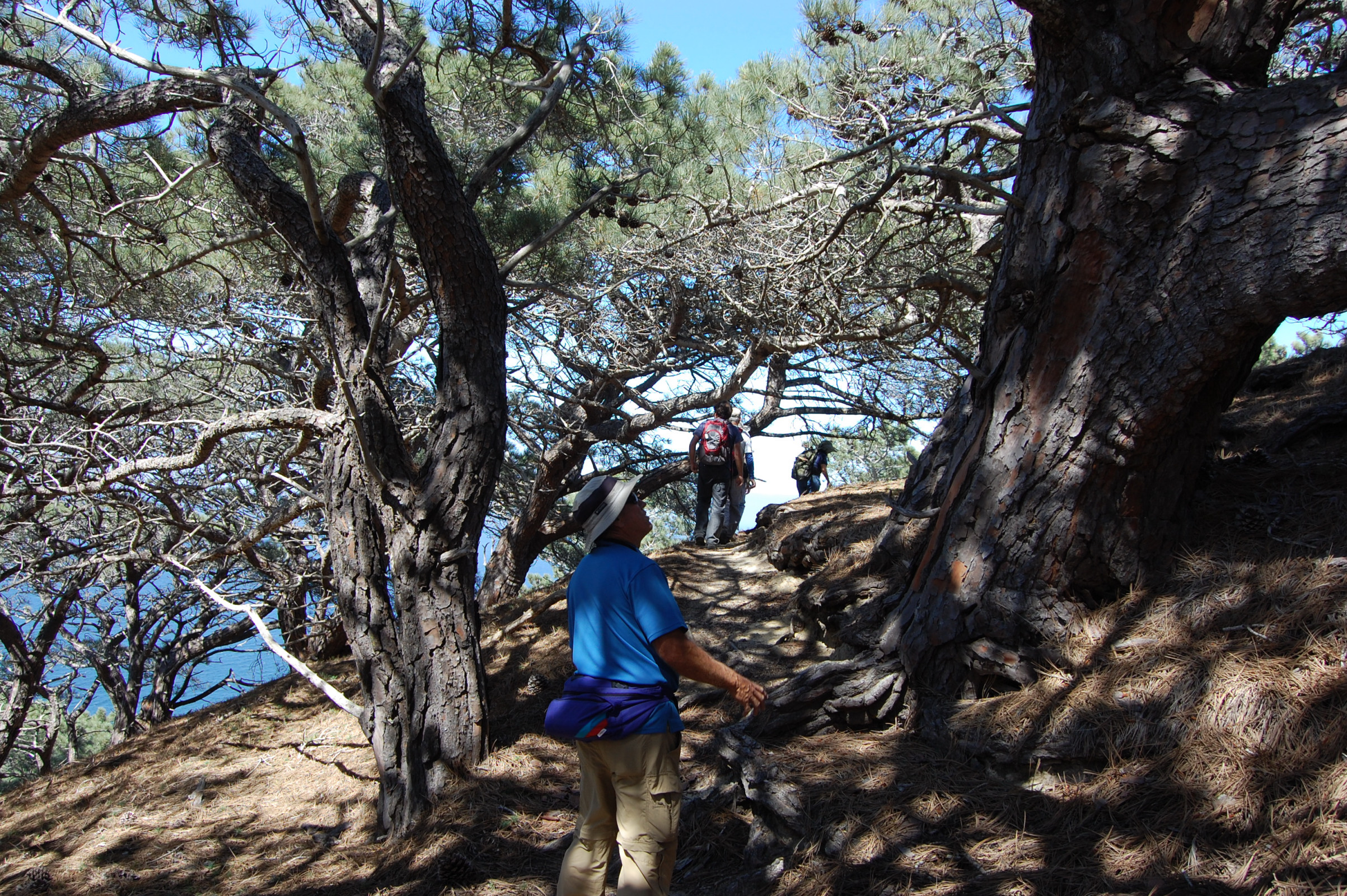 Within the Torrey pine forest  Trail junction at top of the Torrey pines  Heading east back to the ranching road 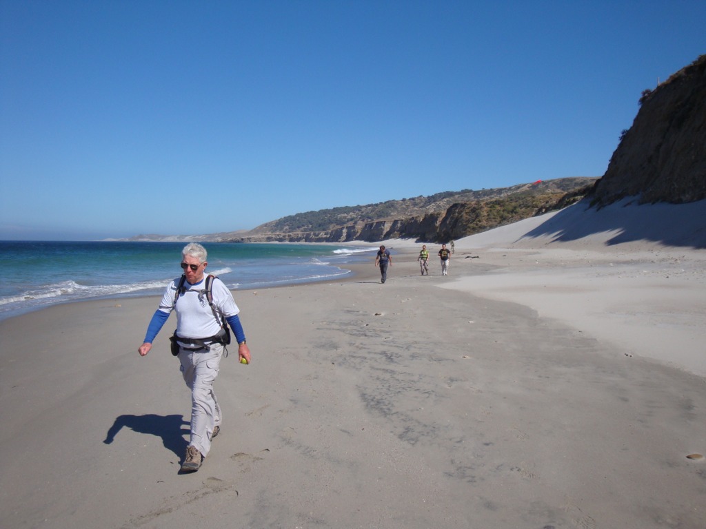 Exploring the Beach at Bechers Bay near Water Canyon 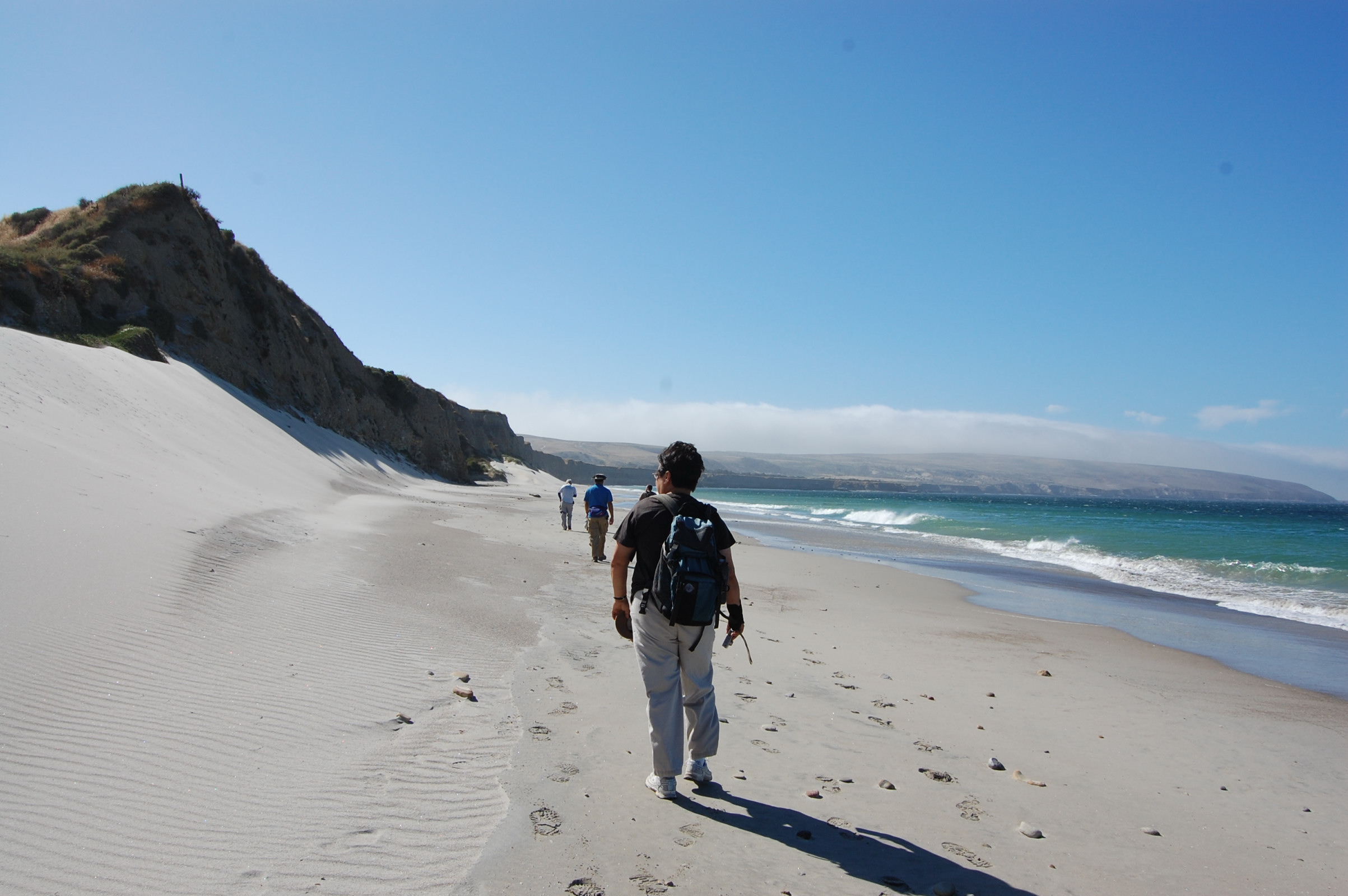 |